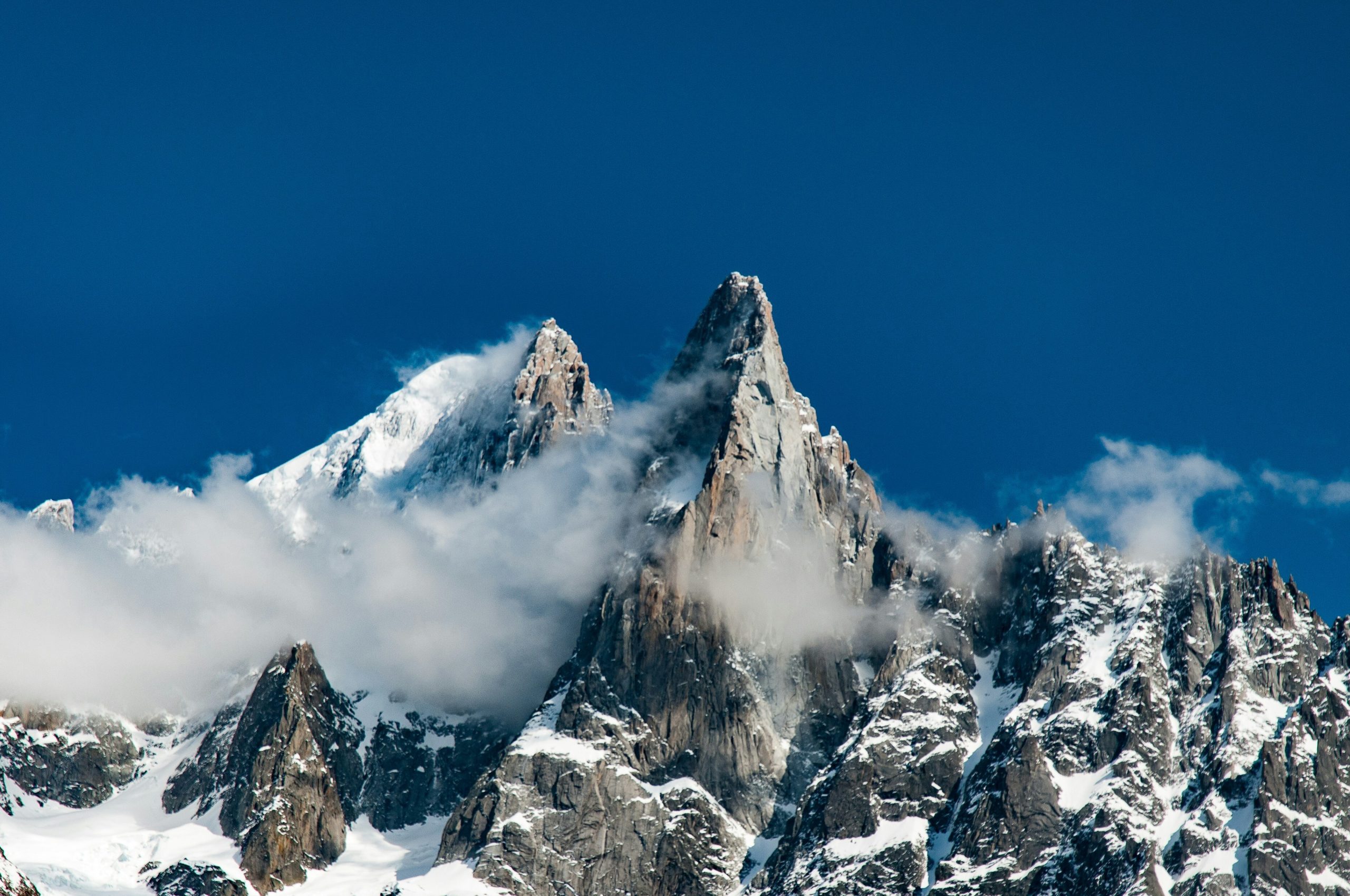
The Alps remain Europe’s premier trekking destination, offering more than 10,000 kilometers of marked trails across France, Italy, Switzerland, Austria, Slovenia, and Germany. From the glacier-carved valleys of the Mont-Blanc massif to the jagged limestone towers of the Dolomites, the range delivers an extraordinary variety of landscapes within a relatively compact geographic area.
Whether you are planning a two-hour valley walk or a two-week high-altitude traverse, understanding the terrain, the grading systems, and the safety protocols is essential. Before you even lace up your boots, one practical detail deserves early attention: reliable connectivity. An eSIM Plus travel data plan lets you activate a digital SIM before departure and stay connected across multiple Alpine countries without roaming charges or the hassle of swapping physical cards. With logistics sorted, the real planning can begin.
Three Pillars of Alpine Safety
Safety in the Alps is not a single measure but a layered approach that begins long before you reach the trailhead. The Austrian Alpine Club and regional mountain rescue services consistently identify three recurring causes of incidents: inadequate preparation, overestimation of one’s own abilities, and unsuitable equipment. Addressing these three areas transforms a potentially risky outing into a rewarding and manageable adventure.
Preparation and Route Planning
Every safe trek begins with an honest assessment of your fitness, experience, and the demands of the chosen route. Check the weather forecast for the specific valley and elevation you intend to reach, not just the nearest town. Study the trail’s difficulty grade, the condition of the path, and any exposed or technical sections. If you are trekking independently, inform someone of your itinerary and expected return time. Local hut wardens and mountain guides are invaluable sources of current conditions; their advice should be treated as authoritative, not optional.
Weather Awareness and Timing
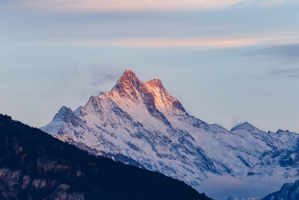
Alpine weather changes with startling speed. Afternoon thunderstorms are a frequent summer hazard, particularly in the eastern Alps, and they can turn an exposed ridge into a dangerous place within minutes. The Austrian Alpine Club advises starting early and aiming to be off high passes by midday, because convective storms typically build in the afternoon. Watch for cumulus clouds forming earlier than usual in the morning—this is a reliable warning sign that storms may arrive ahead of schedule. In addition to storms, temperature drops of 6°C per 1,000 meters of elevation gain are standard, so a warm layer and waterproof shell should never be left behind.
Essential Equipment and Altitude Considerations
The alpine gear list is well established: sturdy hiking boots with good ankle support, layered clothing including a waterproof jacket and trousers, a hat and gloves, a headlamp, a first-aid kit, a bevy bag or emergency blanket, and at least 1.5 liters of water per person. For routes that cross glaciers or steep snowfields, an ice axe and crampons are mandatory, along with the knowledge to use them.
Altitude illness is a genuine concern above 2,500 meters, which many Alpine passes exceed. The recommended rate of ascent is no more than 300–500 meters of sleeping altitude gain per day, with an extra rest day built in for every 1,000 meters of elevation. Hydration, carbohydrate-rich food, and avoiding alcohol in the first days at altitude all reduce the risk of acute mountain sickness.
Most Rewarding Alpine Routes
The Alps offer routes for every ambition and timeframe. Three long-distance treks stand out as the defining experiences of the range, each with a distinct character and level of demand.
Tour du Mont Blanc
The Tour du Mont Blanc (TMB) is the most celebrated circular trek in the Alps, covering roughly 165 kilometers through France, Italy, and Switzerland. It typically takes 10 to 11 stages, with daily elevation gains that often exceed 1,000 meters. The route passes beneath the highest peak in Western Europe, traversing alpine meadows, glacier-fed valleys, and historic mountain villages. While the TMB is graded as moderate overall, individual stages vary considerably, and the cumulative physical demand is substantial. It is best suited to hikers with previous multi-day trekking experience and solid fitness.
Walker’s Haute Route
The Walker’s Haute Route links Chamonix to Zermatt, tracing a high-level path beneath some of the most dramatic peaks in the Alps, including Mont Blanc and the Matterhorn. Covering approximately 180 kilometers over 13 days, the route is graded as demanding but non-technical—no glacier travel or climbing skills are required, though the terrain is often rough, rocky, and exposed. The passes stand just under 3,000 meters, and the scenery is arguably the most consistently spectacular of any Alpine long-distance trail. It rewards experienced walkers who are comfortable with long days and uneven ground.
Alta Via 1, Dolomites
The Alta Via 1 offers a distinctly different Alpine experience. Traversing the Dolomites from north to south over approximately 120 kilometers and 11 stages, it is the easiest of the six Alta Via routes and an ideal introduction to hut-to-hut trekking in a high-mountain environment. The path is well waymarked and follows clear, well-trodden trails, but it still demands a reasonable level of fitness and sure-footedness. The reward is a landscape of pale limestone towers, deep valleys, and Italian mountain culture at its most welcoming.
Understanding Alpine Difficulty Levels
Alpine trails are graded using standardized scales that help hikers match routes to their abilities. The most widely used system in the central and eastern Alps is the Swiss Alpine Club (SAC) scale, which runs from T1 to T6. Understanding these grades prevents the most common and dangerous mistake: choosing a trail that exceeds one’s experience.
1 (Hiking): Well-maintained paths with minimal exposure. Suitable for anyone in reasonable health, including those wearing trainers. Orientation is straightforward even without a map.
T2 (Mountain Hiking): Continuous trails with regular ascents. The terrain may be steep, and there is a slight risk of falling. Trekking shoes and basic orientation skills are recommended.
T3 (Demanding Mountain Hiking): The path may not always be visible on the ground, and exposed sections may be secured with ropes or chains. Hands may be needed for balance. Very good sure-footedness and mountain experience are required.
T4 (Alpine Hiking): Sections of the path may be missing, and hands are occasionally required for progress. The terrain is exposed, with delicate grassy slopes and easy snowfields. Alpine experience and rigid trekking boots are essential.
T5 and T6: These grades involve scrambling, glacier travel, and significant exposure. They require mountaineering equipment and skills and fall outside the scope of conventional trekking.
For the routes described above, the Tour du Mont Blanc generally falls within the T2–T3 range, the Walker’s Haute Route within T3, and the Alta Via 1 within T2–T3. Beginners should start with T1 and T2 trails—such as the Five Lakes Walk above Zermatt or the gentler sections of the Via Engiadina—before committing to a multi-day high route.
Final Thoughts
Trekking in the Alps is one of the most rewarding ways to experience Europe’s high mountain landscapes, but the mountains reward preparation and humility. Start with routes that match your experience, build your confidence gradually, and let the Alps reveal themselves at the pace they deserve.